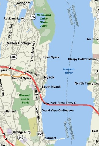
From East
of the Hudson River:
1. Take Tappan Zee Bridge
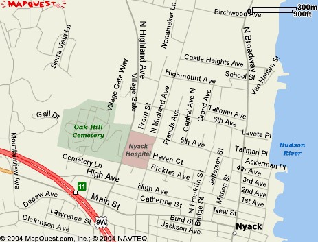
2. Take Exit 11(9W Nyack): Second exit after
crossing bridge.
3. Continue past the stop sign, left at traffic
light onto 9W North. (Note mileage)
4. Go through town, through traffic light at
Christian Herald Rd to top of hill.
5. Go past 40 mi/hr sign, to unpaved parking
pulloff on right, 1.8 miles from turn onto 9W at light. Very
limited parking and rough surface and road edge.
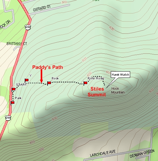
6. Walk north on the east side of the road past
where the telephone lines cross the road. Continue north and look to
your right, up the slope a little, for a triple yellow mark, the start of the yellow blazed
trail, Paddy's Path. (At this point, there is also a yellow arrow,
bent at the tip, on the road, which indicates an alternate trail off to
the right.)
7. Pass the triple yellow mark and follow the trail for about
200 yards or so,
then bear left at the rock, where the trail joins another branch of the
yellow trail. In another 200 yards or so, you will see "the
river of rocks." Turn left to circle around this very rocky
mountainside and continue on the yellow blazed trail. (Note that a right turn
will bring you up to the mountain as well, but the trail is a little
steeper.)
8. Continue on the trail, bearing right for the
last steep climb to the top of Hook Mountain, arriving at Stiles Summit.
The total hike up the mountain is about 1/2 mile.